
 Bronco Forge Team
Fontana sits closer to real off-road trails than most Inland Empire owners realize, with routes ranging from an easy fire road twenty minutes away to serious rock crawling near Big Bear. Here are the best ones for a Ford Bronco, closest first, with what kind of build each one actually needs.
In This Guide
San Sevaine Road
San Sevaine Road starts right in the Fontana foothills, making it the closest real trail to town. It runs east to west between Mount San Antonio and Cajon Pass, with views over the Inland Empire clear enough to spot the ocean on a good day.
The road closes seasonally to protect mule deer fawning habitat, so check current status with the Lytle Creek Ranger Station before you go. A stock Bronco handles the main road fine, though rougher spur sections reward a lift and better tires.

Cleghorn Ridge Trail
Cleghorn Ridge runs about 15 miles from the Cleghorn off-ramp on I-15 in Cajon Pass, over the ridge, down to Highway 138 at Silverwood Lake. It's roughly 20 to 25 minutes from Fontana, making it the easiest trail on this list to reach.
The main route is a wide, mostly smooth fire road that a stock 4x4 Bronco can drive without trouble. A rougher parallel route runs alongside it for anyone wanting more of a challenge, with deep ruts and loose rock sections that reward higher clearance.
Stockton Flats
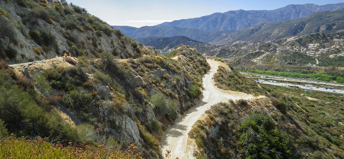
Stockton Flats sits in the Lytle Creek system, a short drive from the Inland Empire and part of the Front Country Ranger District. It's a good beginner-friendly option with no major obstacles, and it connects to several shorter spur trails if you want to extend the day.
Because it's part of a larger trail network, it's an easy trail to combine with a run out to Cleghorn Ridge or nearby Lytle Creek roads in the same trip.
Miller Canyon OHV Area
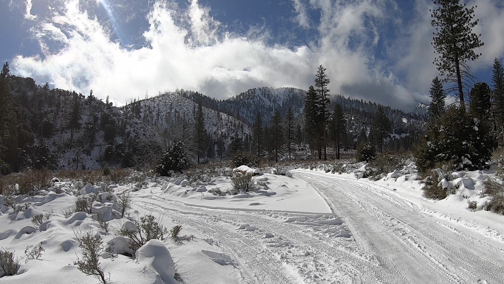
Miller Canyon sits east of Silverwood Lake, with a 4-mile main route on decomposed granite that connects to shorter spur trails. It's rated easy to moderate, and Forest Service guidance lists it as suitable for stock high-clearance SUVs.
Watch for water crossings after rain or snowmelt, since conditions here change fast compared to the drier trails closer to Fontana.
Holcomb Creek
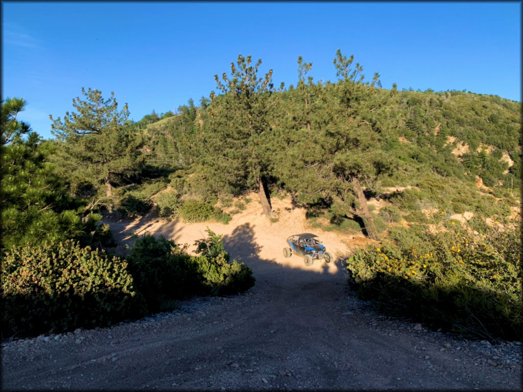
Holcomb Creek is a genuine step up in difficulty, located in Holcomb Valley near Big Bear, about an hour and a half to two hours from Fontana. It's a Jeep Badge of Honor Trail and a real rock-crawling route, not a scenic fire road.
This is not a stock-tire trail. Plan on a lift, aggressive tires, and underbody protection before attempting it, since the rock sections here will find any weak point in a stock setup.
John Bull Trail
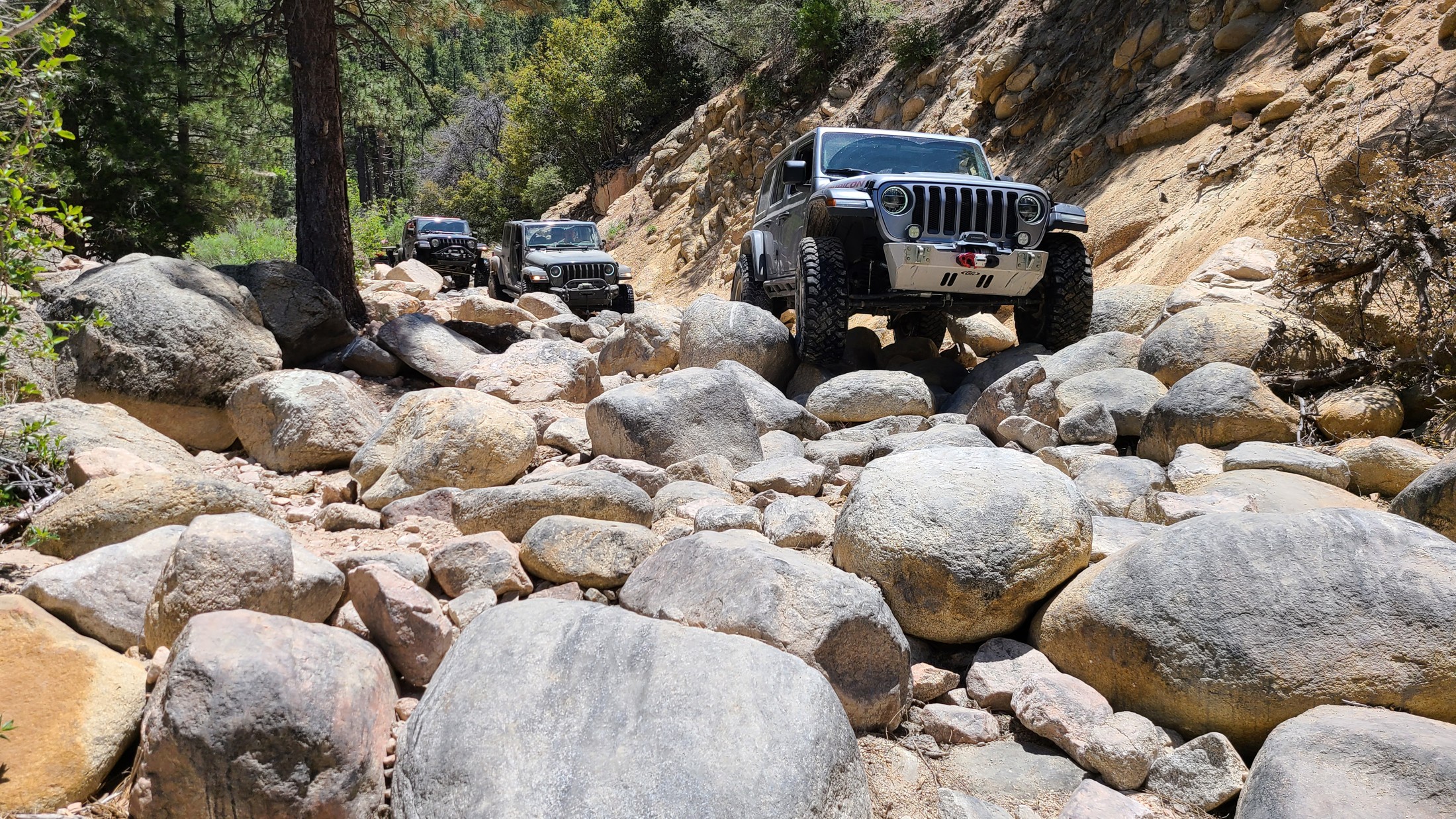
John Bull, also near Big Bear, is one of the most respected rock-crawling trails in Southern California and holds a legendary reputation for good reason. This is not a trail for a first trip out.
Rock sliders and a real skid plate setup are the difference between a memorable run and an expensive tow bill here. Bring a spotter, air down before you start, and don't attempt it alone.

Stoddard Valley OHV Area
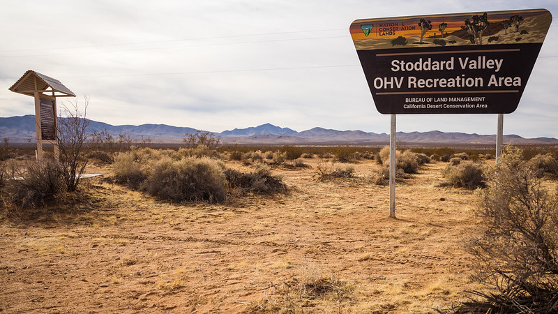
Stoddard Valley sits out near Barstow, aboulets do a manual vs automatic transmission t an hour from Fontana, and it's a completely different kind of terrain from the mountain trails above: open desert with a mix of sand washes and rocky sections. It's a popular OHV destination with room to explore beyond a single fixed route.
Sand driving rewards lower tire pressure and momentum over raw power, so air down before you get into the wash sections.
Permits You Need
Most of these trails sit inside the San Bernardino National Forest, one of four Southern California forests that requires a National Forest Adventure Pass for parking at day-use sites. A day pass, annual pass, or an America the Beautiful interagency pass all work.
Grab a current Motor Vehicle Use Map from the ranger station that manages your route before you go: the Lytle Creek Ranger Station for San Sevaine, Cleghorn Ridge, and Stockton Flats, or the Big Bear Discovery Center for Holcomb Creek and John Bull. Trail closures and conditions change with weather and fire restrictions, so it's worth a call before you drive out.
What to Bring Depending on the Trail
For San Sevaine, Cleghorn Ridge, Stockton Flats, and Miller Canyon, a stock Bronco with good all-terrain tires is enough. Bring the basics: a full tank, a way to air down, and a printed map, since cell service gets spotty in the canyons.
For Holcomb Creek and John Bull, build for real rock contact. Our rock sliders and skid plates protect the parts a stock Bronco has no way to protect on its own. A winch and recovery gear setup is worth having on any of the harder routes, and for the full list of what belongs in the truck on any trail day, check our trail essentials guide.
FAQ
What's the closest off-road trail to Fontana?
San Sevaine Road starts right in the Fontana foothills, making it the closest option. Cleghorn Ridge is a close second at about 20 to 25 minutes away.
Can a stock Ford Bronco handle Cleghorn Ridge?
Yes, on the main fire road. A stock 4x4 Bronco with factory tires handles it without trouble. The rougher parallel route alongside it is a different story and rewards more clearance.
Do I need a permit to drive these trails?
Most sit in the San Bernardino National Forest and require a National Forest Adventure Pass for parking at day-use sites. A day pass, annual pass, or interagency pass all satisfy the requirement.
Is John Bull Trail too hard for a first-time wheeler?
Yes. It's one of the most respected rock-crawling trails in Southern California and demands real vehicle preparation, a spotter, and experience. Build up through easier trails like Cleghorn Ridge or Stockton Flats first.
Are these trails open year-round?
No. Some, like San Sevaine Road, close seasonally for wildlife protection, and mountain trails near Big Bear can close for snow or fire restrictions. Check with the managing ranger station before you drive out.
Do I need a lift kit for Holcomb Creek?
You need more than stock ground clearance and factory tires. A lift, aggressive tires, and real underbody protection make the difference between finishing the trail and getting stuck on it.


